The internet and printed page contain a huge wealth of material on the history of railways in Britain. The maps listed below seek to summarize some of this data from the perspective of the modern rail user, by listing the date of opening of each route segment of the current passenger network. Notes at the foot of each map summarize some of the key devolopments shown on the map.
Rail routes often have complex origins spanning long periods; the dates given are the year in which locomotive-hauled passenger services began on conventional (flangeless) track. Some routes which no longer exist (or which are freight only), but which contributed significantly to the connectivity of the network when they were built, are also depicted, as dotted lines. In some areas where many disparate mineral railways developed (particularly Glasgow and Tyne & Wear), modern routes resulted from a complex linking of existing fragments: in such cases, the date of completion of the section as a whole is shown.
The scale of the maps prevents certain geographically small features from being included, such as linking spurs, and new termini constructed close to the original terminus (e.g. Liverpool Street in 1874). In addition many routes were double or quadruple-tracked many years after their original construction, and sometimes also extensively regraded and/or realigned.
Chronological expansion: The first set of maps show the chronological expansion of the whole network. New lines opened in the period are shown in orange, with routes already extant at the start of the period shown in brown.
| Beginnings (1825-36) | Mini Mania (1861-70) |
| First Main Lines (1837-43) | Late Victorian (1871-1901) |
| Railway Mania (1844-50) | Early 20th Century (1902-39) |
| Consolidation (1851-60) | Modern Additions (1983-2007) |
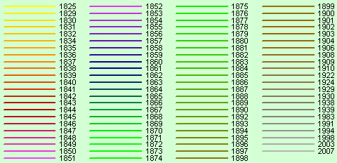
Regional maps: The second set of maps show the dates of all routes for the different regions of Britain. Dates are marked beside each track segment; those between 1825 and 1899 are abbreviated to the last two digits only. The routes are additionally colour-coded using the colours shown in the key below.
| South-west England | London |
| South-east England | Bristol & Cardiff |
| Wales | Birmingham |
| Central England | Lancashire & West Yorkshire |
| The Midlands | Tyne & Wear |
| Southern Scotland | Glasgow |
| Northern Scotland |
Comments and corrections please to philip@brassett.org.uk
Bibliography: The information contained in these maps was obtained from a variety of internet and printed sources, including:
| • | Wikipedia |
| • | A Regional History of the Railways of Great Britain (16vols, various authors, published by David & Charles) |
| • | A Chronology of the Construction of Britain's Railways 1778-1855: Leslie James (ISBN 0-7110-1277-6) |
| • | Railscot |
| • | The Great British Railway – A Living History: Tony Hall-Patch (ISBN 0-7153-9824-5) |
| • | British History Online |
| • | Encyclopaedia of British Railway Companies: Christopher Awdry (ISBN 1-85260-049-7) |