Home
Mapper — Create Your Own Topographic Relief Maps
Ever wanted to check out the lie of the land in your area? All the data is freely available on the web at ftp://e0srp01u.ecs.nasa.gov/srtm/version2 (unless you happen to live above 60N or below 60S!). I have written a script that converts this data into topographic relief maps like the ones below. Click here to download the package; full instructions are contained in the file Mapper.pdf within. The script was written for Windows, but can probably be used on other platforms with certain limitations (see the notes at the end of Mapper.pdf). You will also need to have Perl installed on your computer, but you DO NOT need to know the Perl programming language.

East Anglia |
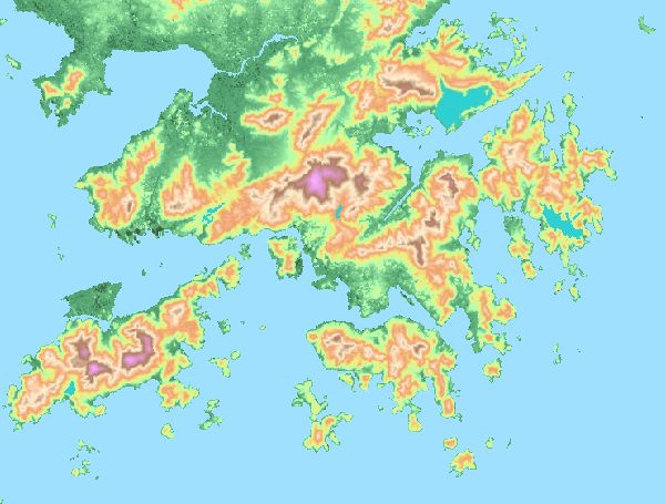
Hong Kong |

The English Lake District |